Bay Area Energy Atlas
Interact with one of the largest sets of disaggregated building energy data in the nation.
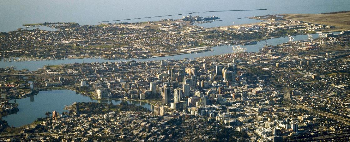
The Bay Area Energy Atlas is a public data resource that displays spatially aggregated annual energy consumption statistics for the nine San Francisco Bay Area counties. The tool was developed by the California Center for Sustainable Communities at the University of California, Los Angeles, in partnership with BayREN.
The website is a database of building energy consumption that links Pacific Gas and Electric Company's (PG&E) metered energy consumption to building characteristics, sociodemographic data, and other significant attributes. The ability to associate energy consumption with buildings and population information allows us to ask deeper questions about how energy is being used, including:
- What types of buildings have the highest energy intensity per square foot?
- How does energy consumption vary spatially, by population density, by income level, or by industry?
- How does energy consumption compare between Single Family homes in different parts of the region?
Initially developed to assist local governments with climate action planning, the tool can also help guide local policy on reducing energy consumption while also allowing any interested community members to interact with the data.
Please be sure to share your projects and findings with us.